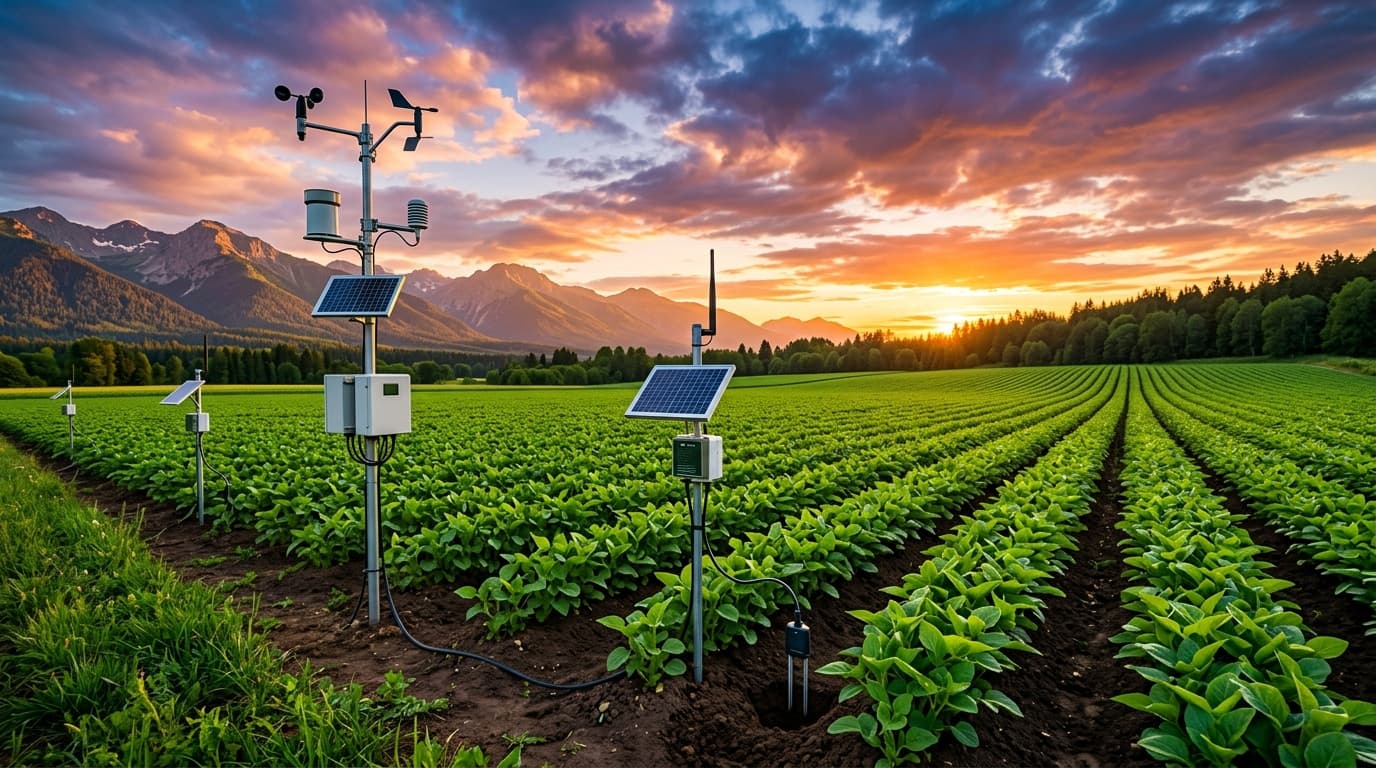
GIS SOIL SCIENCE LABORATORY
As Precision Agronomists, We Unlock Farm Potential Through Data-Driven Crop Management Solutions.
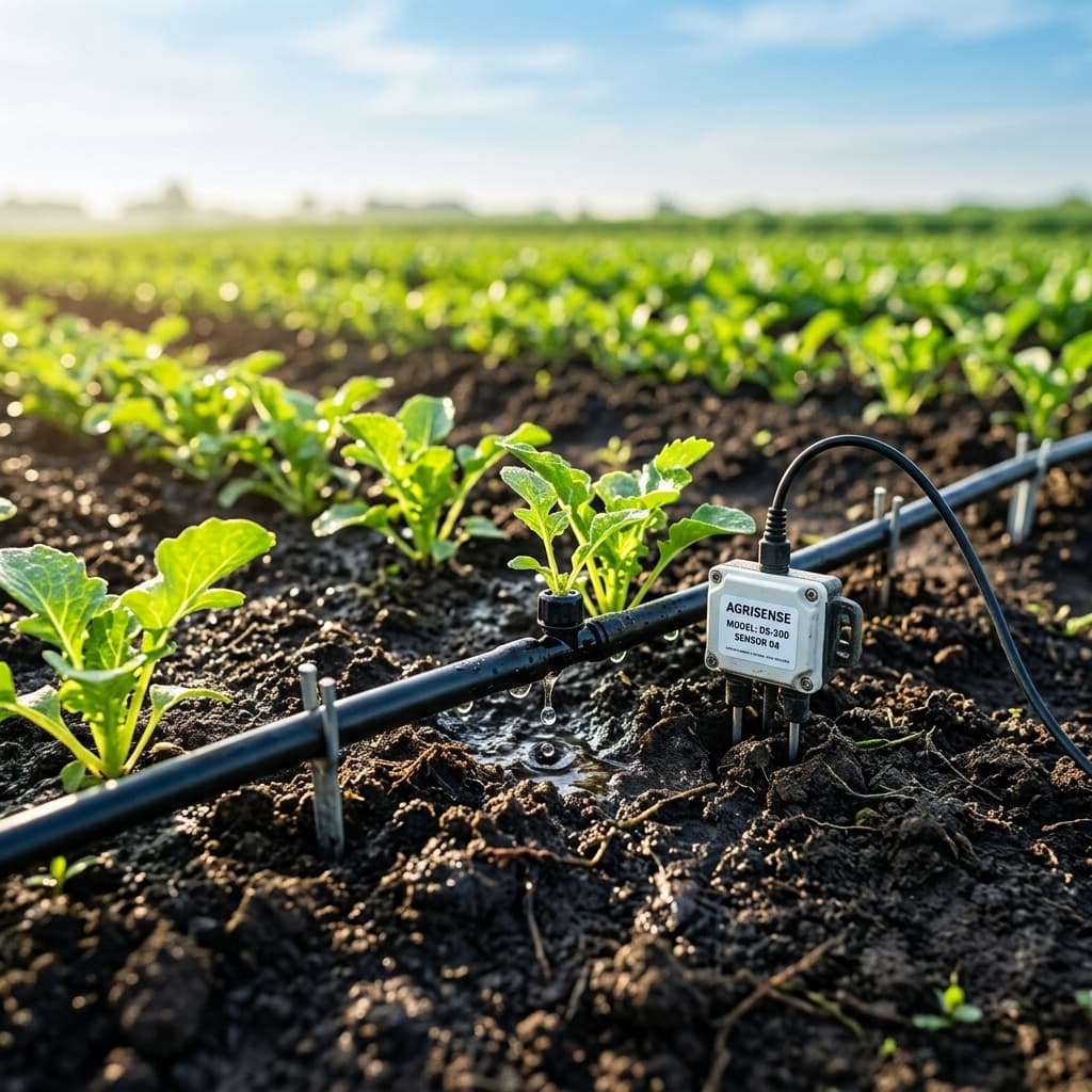
PRECISION WATER MANAGEMENT
In-situ soil moisture monitoring, smart variable rate irrigation & drip optimization.
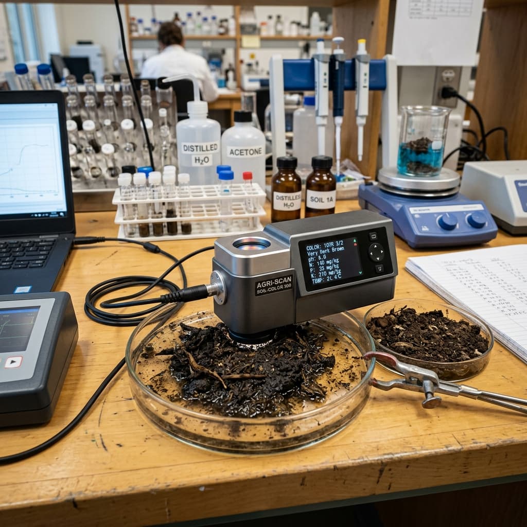
CROP & SOIL PROXIMAL SENSING
Active canopy reflectance, optical spectrometry & rapid lab-to-field nutrient profiling.
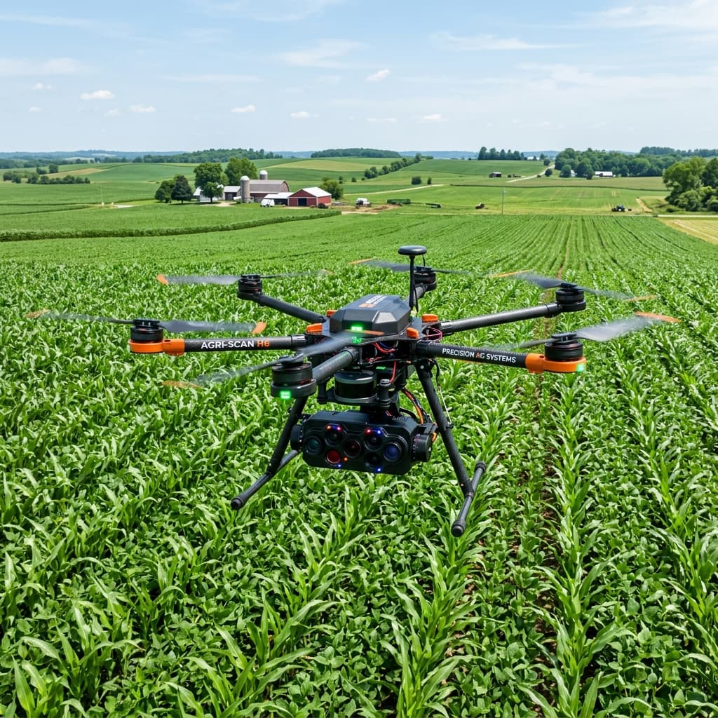
SPATIAL & TEMPORAL ESTIMATES
UAV multispectral mapping, high-res satellite remote sensing & GIS spatial analytics.
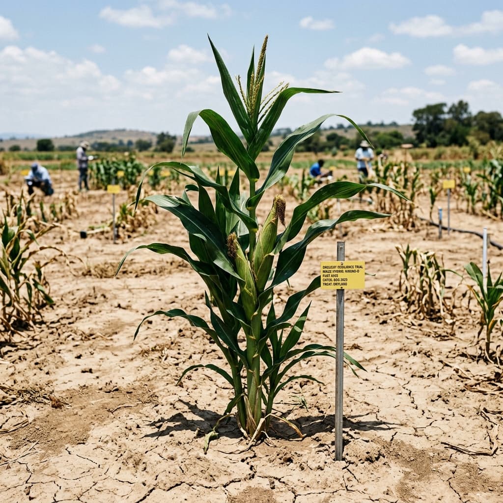
CLIMATE RESILIENCY
Drought adaptation research, field stress tolerance trials & crop resilience analytics.
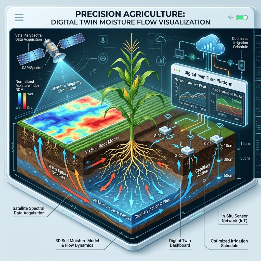
PREDICTION MODELING
Digital twin crop simulations, AI moisture dynamics & predictive yield forecasting.
Research in Action
Explore our ongoing experimental field trials, UAV aerial mapping missions, and advanced precision laboratory infrastructure.
Multispectral UAV Crop & Soil Surveillance
Autonomous hexacopter drone flights conducting high-resolution multispectral imagery scans to map spatial variability and crop canopy vigor index.
RESEARCH PROJECTS
Explore our cutting-edge field research initiatives, automated trials, and precision agronomy research programs.
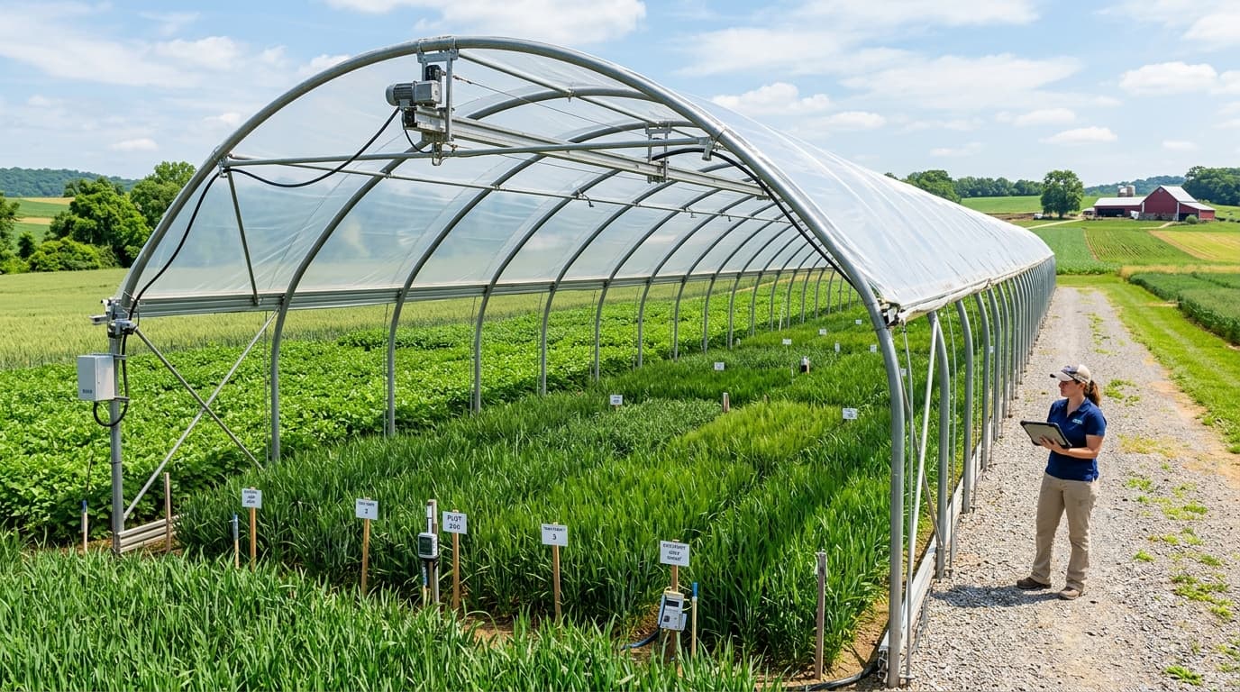
Drought Resilient Alfalfa Production (D-RAP)
Investigating physiological responses, root architecture adaptations, and water-use efficiency of alfalfa cultivars under automated rainout shelter drought conditions.
Precision Irrigation & In-Situ Moisture Sensor Networks
Developing wireless LoRaWAN soil matric potential tensiometers and automated variable-rate drip irrigation delivery to maximize crop yield per drop.