Back to All Research Projects
Spatial & Temporal Estimates•2025•Ongoing Project
UAV Multispectral Remote Sensing for Spatial Yield Prediction
Funding AgencyNational GIS & Remote Sensing Initiative
Timeline / Duration2025 – 2026 (24 Months)
Trial LocationRegional Agricultural Research Basin, Kashmir Valley
Lead InvestigatorRemote Sensing & GIS Wing, SKUAST-K
2.4 cm/pxSpatial Resolution
94.2%Model Accuracy
5 Bands + ThermalSpectral Bands
120+ HaSurveyed Area
Research Background & Methodology
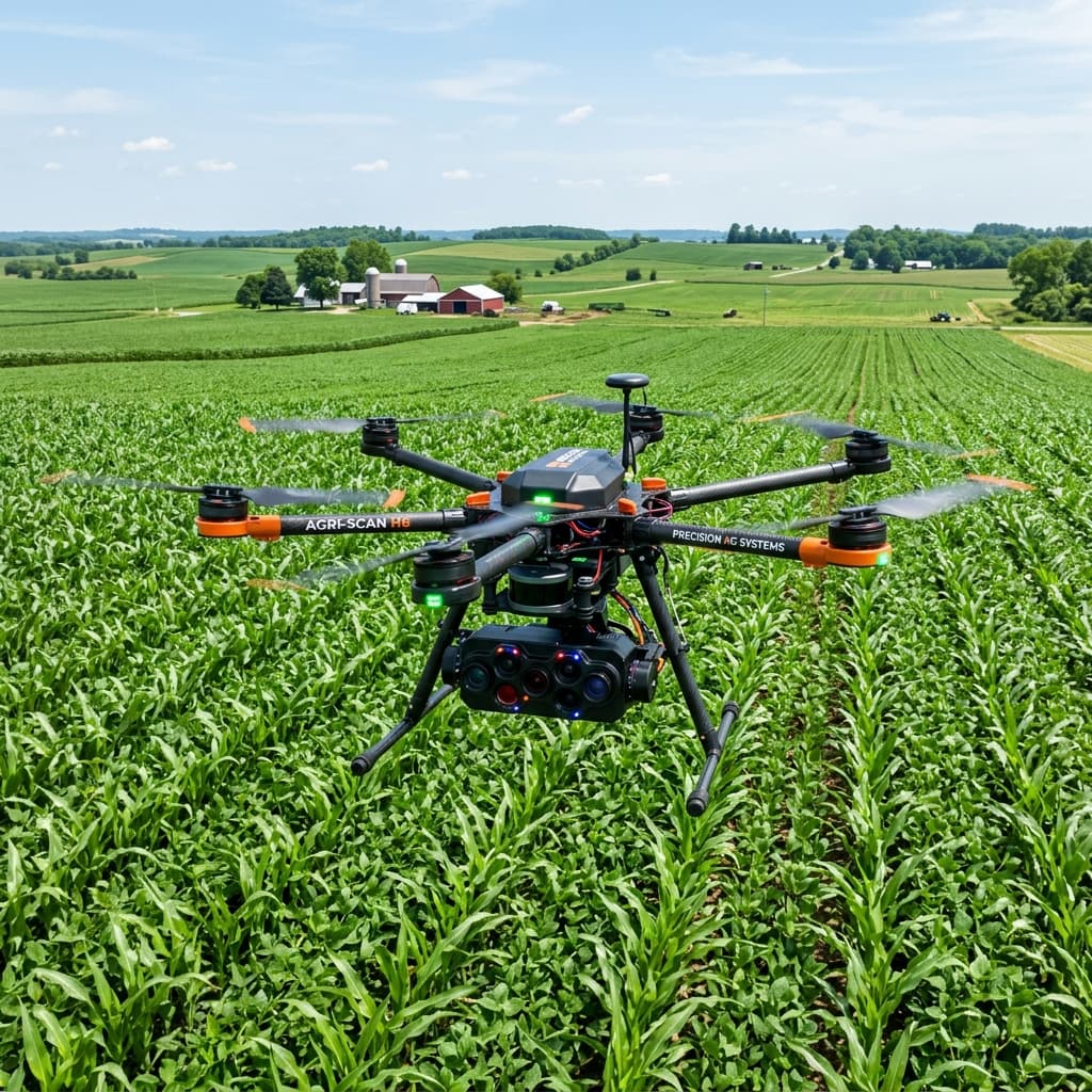
Combining low-altitude unmanned aerial vehicle (UAV) multispectral sensors with European Space Agency Sentinel-2 satellite constellations to create unified spatial-temporal crop diagnostic models. The project establishes machine learning pipelines that translate sub-decimeter surface reflectance into prescription fertilizer maps and preseason yield estimations.
Key Objectives & Milestones
- Execute high-cadence aerial multispectral flights across critical vegetative and reproductive phenological stages.
- Derive robust non-destructive canopy nitrogen and chlorophyll indices validated by ground spectrophotometry.
- Calibrate radiative transfer models (PROSAIL) with empirical field canopy geometries.
- Generate sub-parcel variable-rate fertilizer recommendation layers for precision farm equipment.
Key Empirical Discoveries & Impact
01
Nitrogen Diagnostic Precision
Achieved an R² of 0.88 in predicting canopy nitrogen content using red-edge normalized difference vegetation index (NDRE).
02
Spatial Yield Forecasting
Pre-harvest yield estimation delivered with 94.2% accuracy 30 days ahead of mechanical harvest.
03
Variable Rate Prescriptions
Reduced synthetic nitrogen fertilizer usage by 24 kg N/ha without diminishing target biomass output.